Drone Photography in Indiana County, PA | Jen McKen Commercial
A whole new perspective on the places that matter.
I’ve spent years photographing people, their stories, their milestones, and the places that mean something to them. Weddings, families, businesses, homes. You name it. And now? I’m taking things to a whole new level. Literally. 😂
I’m excited to officially announce that Jen McKen Photography now offers professional drone photography in Blairsville, Indiana County, and throughout Western Pennsylvania!
Whether you’re a real estate agent trying to make a listing stand out, a homeowner selling your property yourself, a business owner wanting to showcase your location, or someone who simply wants to document a place that holds a lifetime of memories, aerial photography offers a perspective you just can’t get standing on the ground.
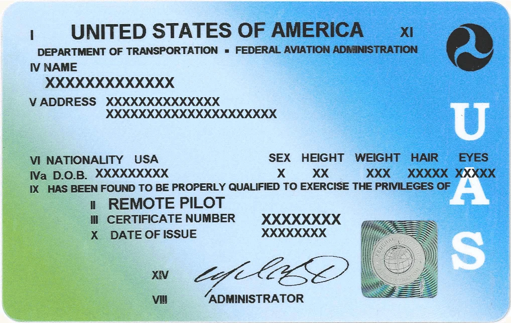
And yes, before anyone asks, I’m FAA Part 107 certified, which means I’ve completed the Federal Aviation Administration’s testing and certification requirements to operate drones commercially. Because apparently taking photographs from the ground wasn’t keeping me busy enough.
Drone Photography for Real Estate Agents and Property Listings
Let’s start with one of the most practical uses: selling real estate.
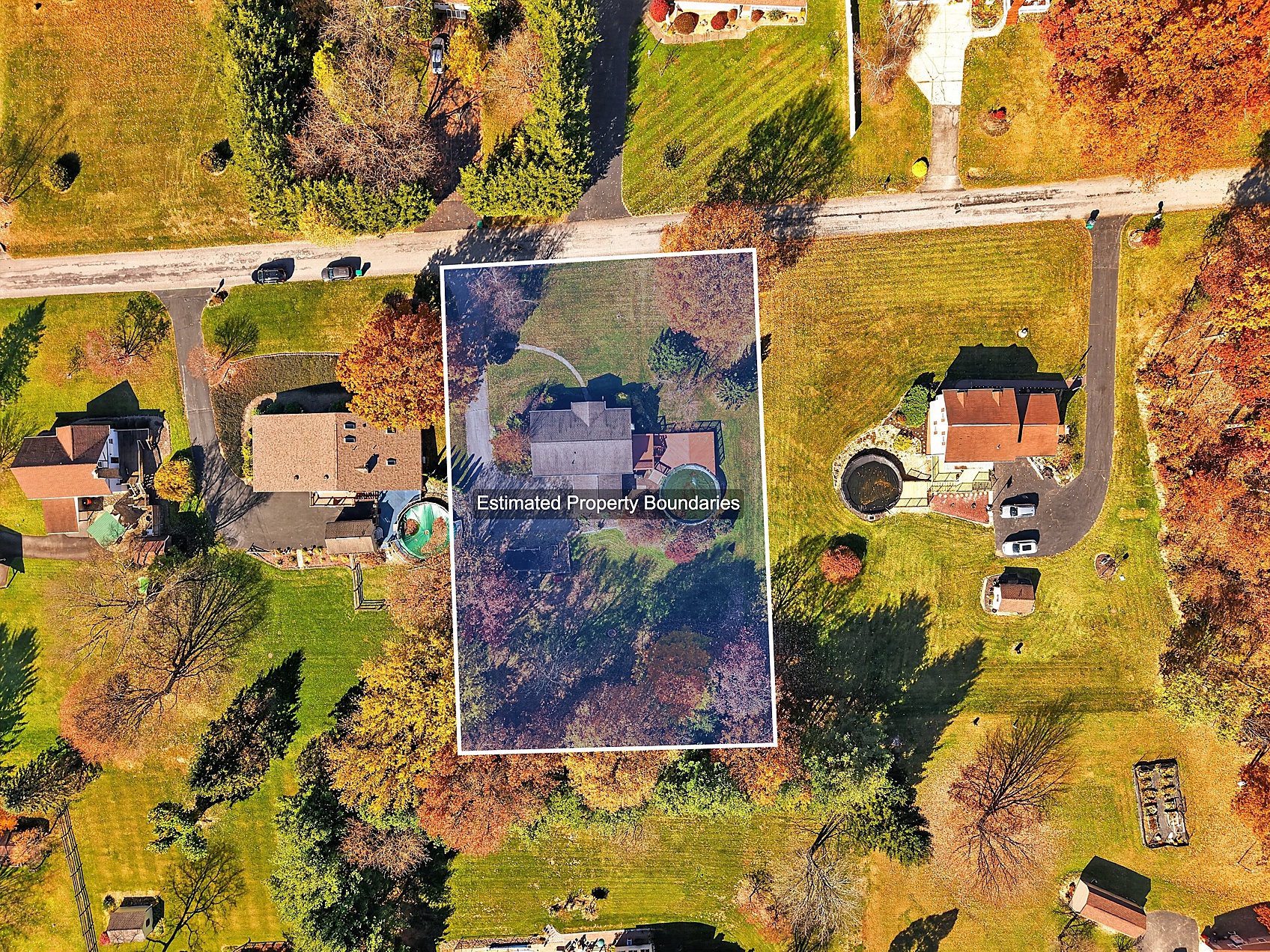
When someone is shopping for a home, they’re not just buying four walls and a roof. They’re buying the property, the surroundings, the layout, the privacy, and sometimes the view that made them fall in love with the place in the first place. Traditional real estate photography does a great job showing what a home looks like. Drone photography helps show where that home fits into the bigger picture.
Aerial photographs can highlight:
- The size and layout of a property
- Large yards, acreage, and surrounding land
- Driveways, garages, outbuildings, and additional structures
- Swimming pools, patios, decks, and outdoor entertaining spaces
- Ponds, wooded areas, fields, and natural features
- The relationship between the home and its surroundings
- Unique architectural details and property features that are difficult to capture from ground level
This can be especially useful here in Western Pennsylvania, where so many properties have acreage, rolling hills, wooded lots, barns, and features that deserve more than a photograph taken from the driveway. Drone photography is available for real estate agents, brokers, property managers, and homeowners preparing to list their properties. It can also complement professional interior and exterior real estate photography for a more complete listing presentation.
Selling Your Home Yourself? Drone Photography for FSBO Listings
Not everyone hires a real estate agent to sell their home. If you’re selling your property For Sale By Owner (FSBO), professional photography can help you present it in a polished, professional way. Your listing photos are often a buyer’s first introduction to your property, and you want them to see everything that makes it special. Maybe it’s the long driveway leading to your home. Maybe it’s the privacy of the backyard. Maybe it’s the acreage, the pond, or the detached garage that you know will be a selling point. Those are things that can be difficult to communicate with traditional photographs alone. Aerial photography can help potential buyers understand your property’s features before they ever schedule a showing. And you don’t need to be working with a real estate agency to hire me.
Sometimes a Property Is Worth Photographing Because of the Memories
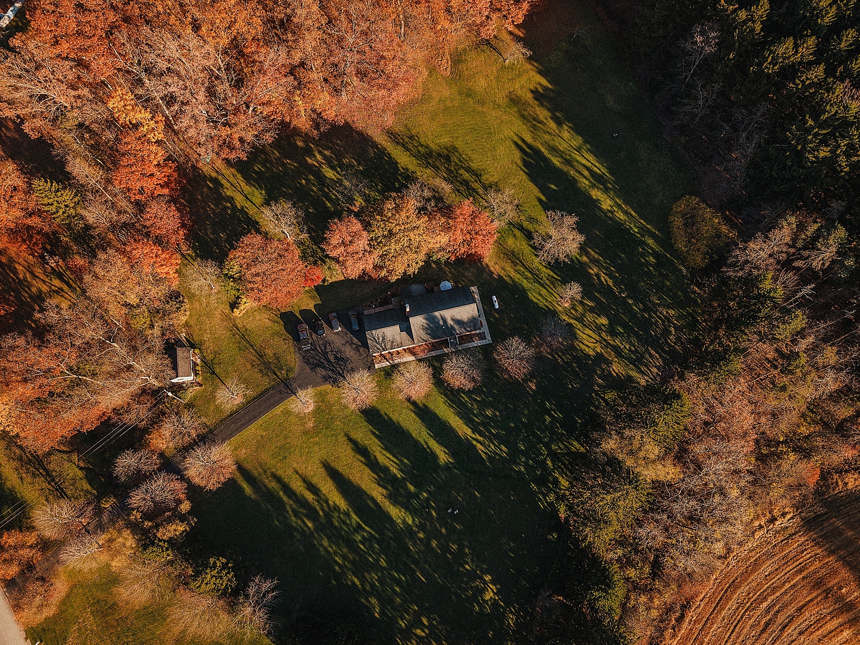
Now this is the part that really speaks to my sentimental photographer heart. Not every property needs to be photographed because it’s for sale. Sometimes it’s worth photographing because it’s home. Maybe it’s the family farm that’s been passed down for generations. The house your grandparents built. The land where you grew up riding four-wheelers, building forts, or running barefoot through the grass. Maybe it’s a property that’s about to be sold after decades in the family. Or maybe you’ve spent years building your dream home, planting trees, creating gardens, and making a place your own. I think there’s something incredibly meaningful about documenting those places while they’re still part of your story. Because one day, that house might belong to someone else. The trees might be bigger. The barn might be gone. The landscape might look completely different. But you’ll have a photograph of what it looked like when it was yours. And honestly? Those might be some of the most valuable photographs I ever take.
Aerial property photographs can also make beautiful framed artwork, meaningful gifts for parents or grandparents, or heirloom pieces to pass down to future generations.
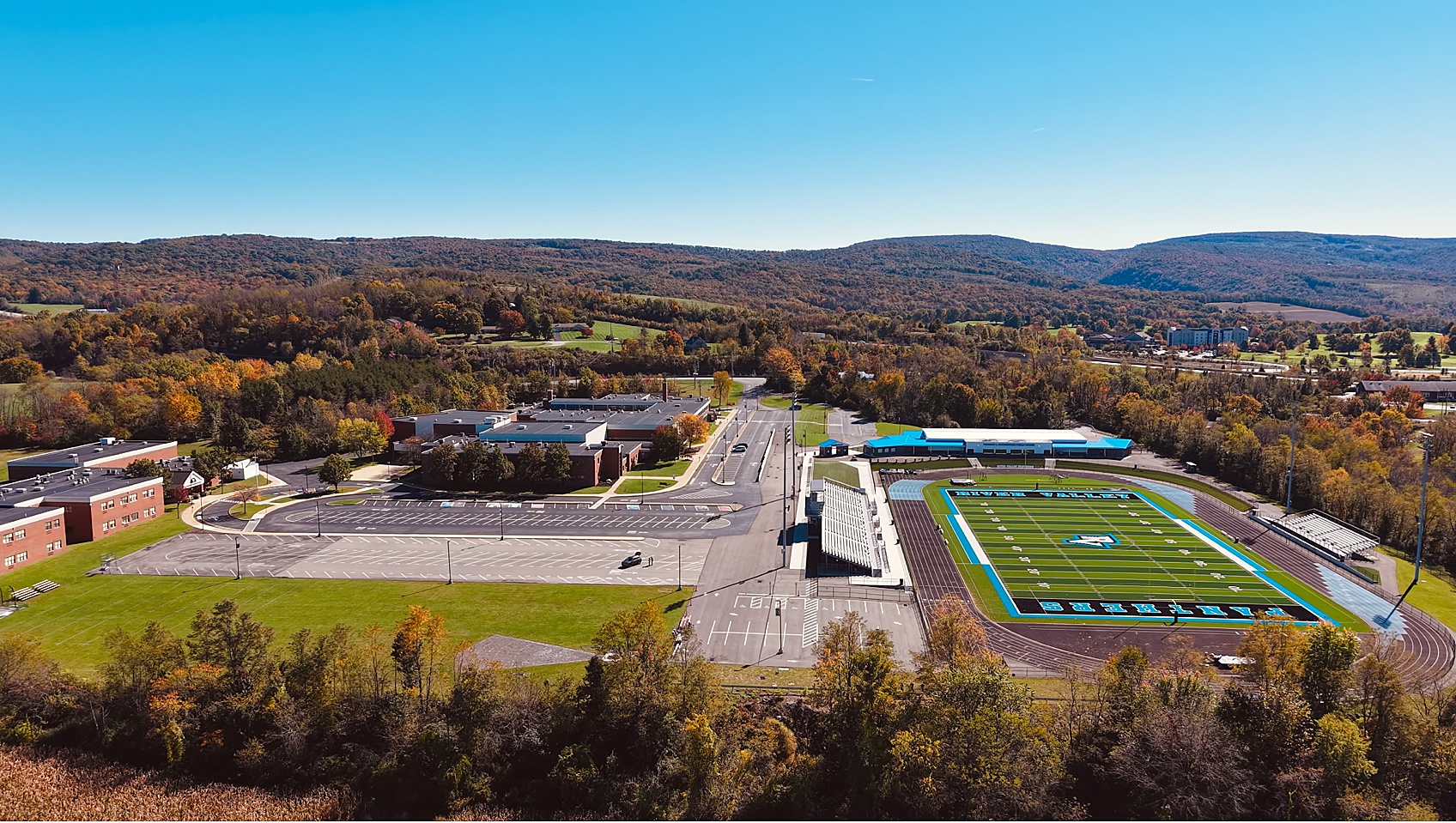
Other Reasons to Hire a Drone Photographer
Real estate is only the beginning. There are so many practical, creative, and sentimental reasons someone might want professional aerial photographs.
Farms, Land, and Rural Properties
Whether you own a working farm, a family homestead, or several acres of recreational land, aerial photographs can capture the property in a way ground-level images simply can’t. They can showcase fields, barns, fencing, ponds, tree lines, and the overall landscape.
Commercial Buildings and Businesses
Businesses can use drone photography to showcase their buildings, storefronts, facilities, parking areas, and surrounding property. These images can be useful for websites, advertising, brochures, marketing campaigns, and company presentations. For businesses with large facilities, aerial photographs can communicate the scale of an operation in a single image.
Construction and Renovation Progress
Building a home? Developing a commercial property? Renovating an existing building? Drone photography can help document progress from the beginning of a project through completion. Photographing a property at different stages also creates a visual history of the work being done.
Vacation Rentals, Cabins, and Airbnb Properties
If you own a cabin, vacation rental, or short-term rental property, aerial photography can help guests understand the setting before booking. Think wooded cabins, lakefront properties, mountain views, outdoor gathering spaces, and private acreage. Sometimes the location is just as much of a selling point as the property itself.
Landowners and Vacant Lots
Even properties without buildings can benefit from aerial photography. Whether you’re preparing to sell vacant land, documenting recreational property, or showcasing a wooded lot, aerial photographs can provide helpful visual context. They can also be used alongside separately verified property maps and boundary information. Aerial photographs themselves do not establish legal property lines.
Family Farms and Generational Properties
This one deserves its own category. The farm that’s been in your family for 100 years. The house your dad built. The property where your kids grew up. These are the kinds of places that deserve to be documented, even when there’s absolutely no intention of selling.
Before-and-After Property Changes
Planning to clear land, add a pool, build a garage, remove an old barn, or make major landscaping changes? Consider documenting the property before and after the work. It’s amazing how much a place can change over time, and sometimes you don’t realize it until you see the photographs side by side.
Estate Planning and Family Property Documentation
Aerial photographs can provide a useful visual record of family-owned properties, buildings, and land. They can be especially meaningful when families are discussing the future of a property, preparing for an estate transition, or preserving its history. They’re not a replacement for surveys, appraisals, or legal documentation, but they can be a helpful visual reference.
Community Organizations, Schools, and Churches
Aerial photography can also be useful for schools, churches, nonprofits, community organizations, and historical properties. Whether it’s showcasing a campus, documenting a historic building, or creating imagery for a fundraising campaign, a different perspective can tell a bigger story.
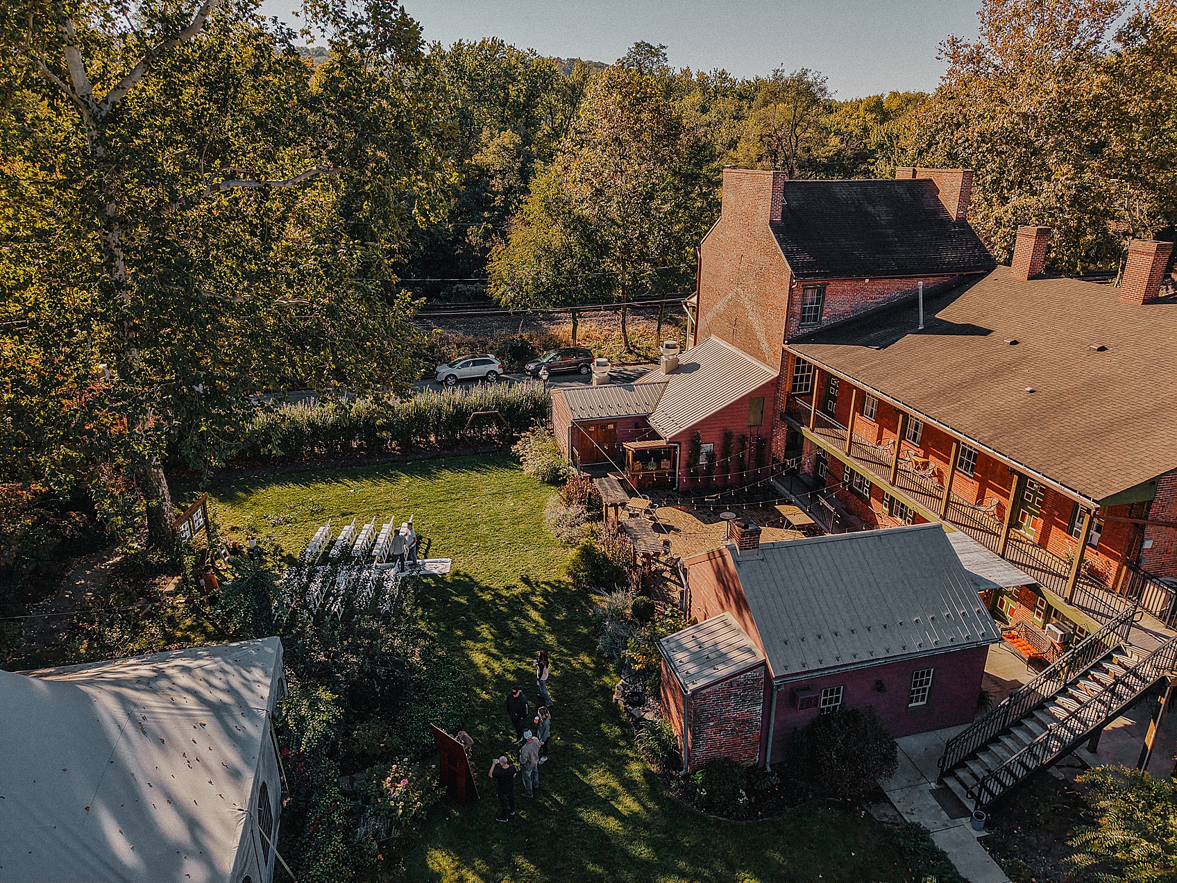
Professional Drone Photography by an FAA Part 107 Certified Pilot
I take the responsibility of operating a drone commercially seriously. I’m an FAA Part 107 certified Remote Pilot, which means I’ve passed the FAA’s aeronautical knowledge test and met the requirements to operate drones for commercial purposes. This certification covers important topics such as airspace regulations, weather, flight operations, and aviation safety. Every drone session is planned with safety, weather conditions, airspace restrictions, and applicable FAA regulations in mind. Not every location or flight is possible, and that’s something I evaluate before each session. My goal is to create beautiful, useful imagery while operating professionally and responsibly.
More Than Just a Pretty Picture
One thing I’ve learned throughout my photography career is that a photograph should have a purpose. For a real estate agent, that purpose might be helping potential buyers better understand a listing. For a business, it might be creating marketing images that establish credibility and show the scale of a facility. For a family, it might be preserving a place that means more than anyone outside that family could ever understand. Different reasons. Same idea.
Some properties are investments. Some are livelihoods. Some are legacies. And sometimes they’re all three. I love that aerial photography allows me to document all of them.
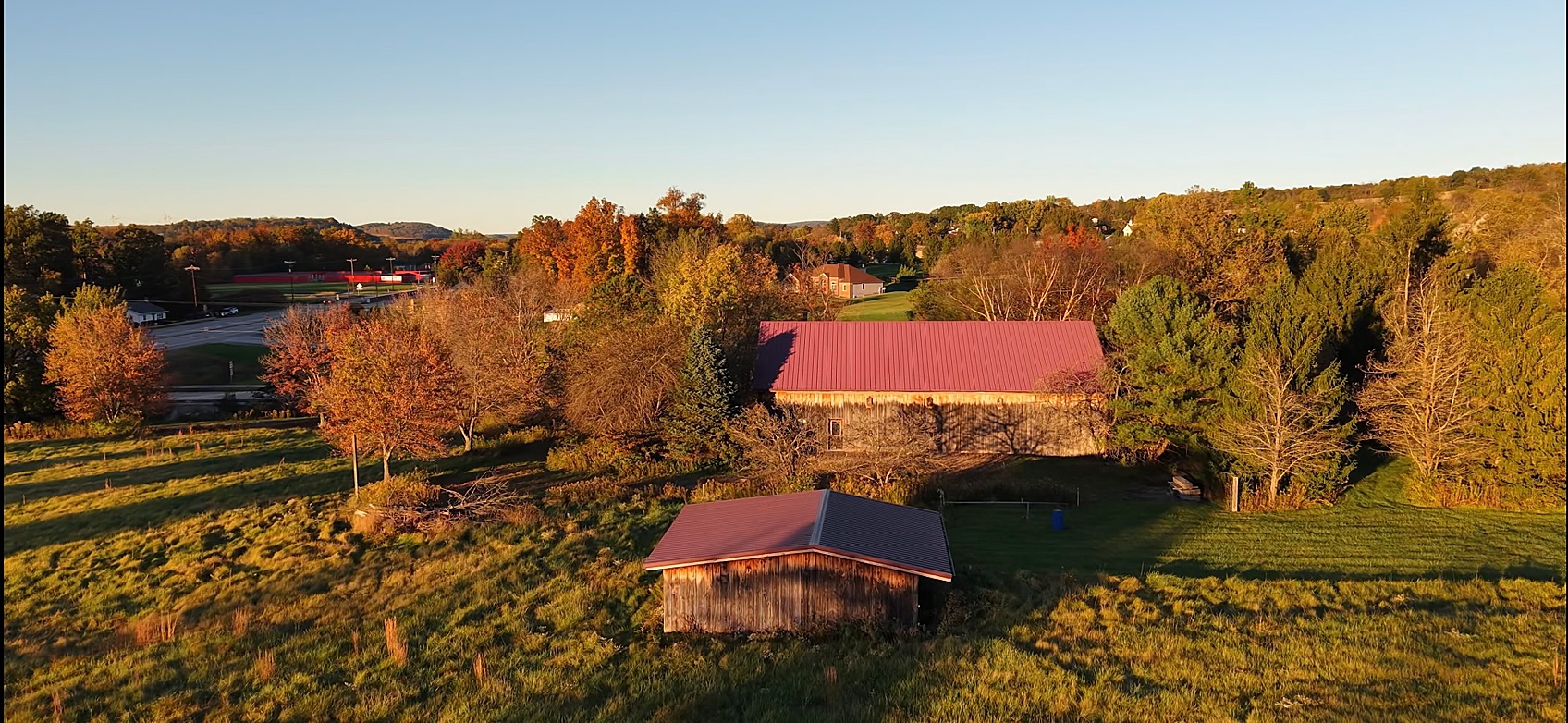
Drone Photography in Blairsville, Indiana County, and Western Pennsylvania
Jen McKen Photography offers professional aerial photography for residential real estate, commercial properties, farms, businesses, and personal property documentation. I’m based in Blairsville, Pennsylvania, and serve Indiana County and surrounding Western Pennsylvania communities, with travel available for projects farther away. Whether you’re preparing a property for sale, updating your business marketing, documenting a construction project, or wanting a beautiful photograph of the place your family calls home, I’d love to hear what you have in mind.
Have a property you’d love to see from above?
Contact Jen McKen Photography to tell me a little about your property, its location, and what you’re hoping to capture.
Because sometimes the best way to appreciate the place you’ve been standing all along is to see it from a completely different perspective.
— Jen